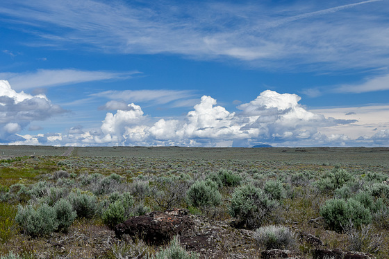
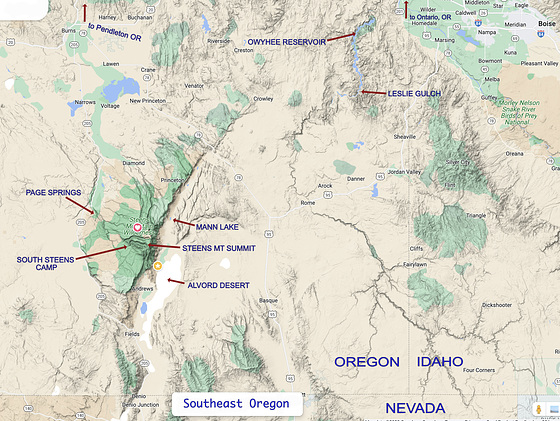
There are 2 very interesting "geological" areas there. Leslie Gulch near the Owyhee Reservoir and Steens Mountain. You need to drive about 150 kilometers between them across the sea.
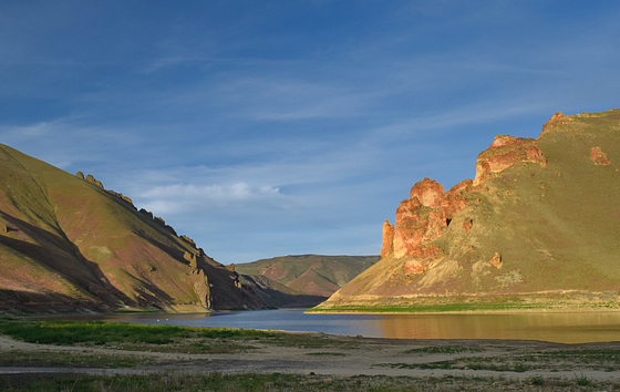
There is 25 miles of dirt road to reach Leslie Gulch. I am almost to the end:
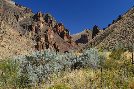
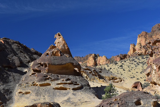
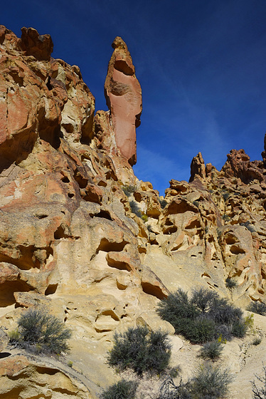
In Leslie Gulch there are tributary gulches where you can hike up the dried creek beds into some really strange lava rock formations.
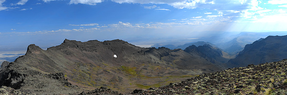
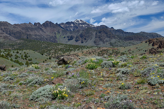
Steens Mountain is a fault-block with a gentle west slope that rises to around 3,000m then drops off sharply on the east side. There is a large area reserved as the Steens Mountain National Wilderness Area. There are camping areas and a road almost to the top.
The view from the summit:
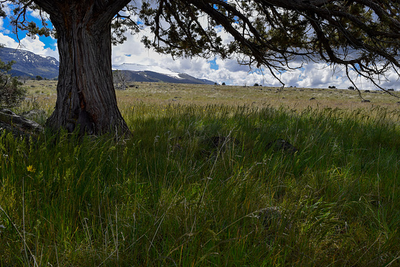
Looking up the gentle west slope toward the summit, near the South Steens camp:
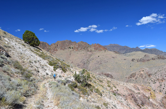
I had a few very enjoyable hikes up into the hills on the east side.
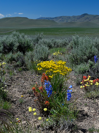
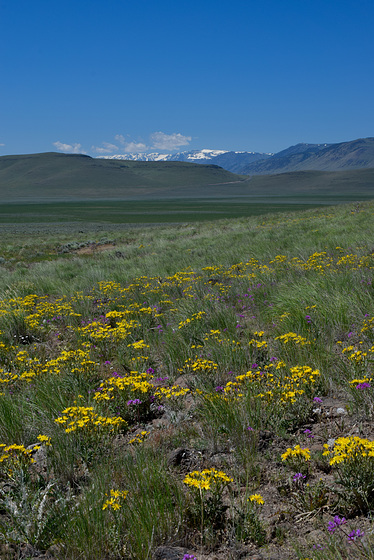
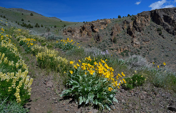
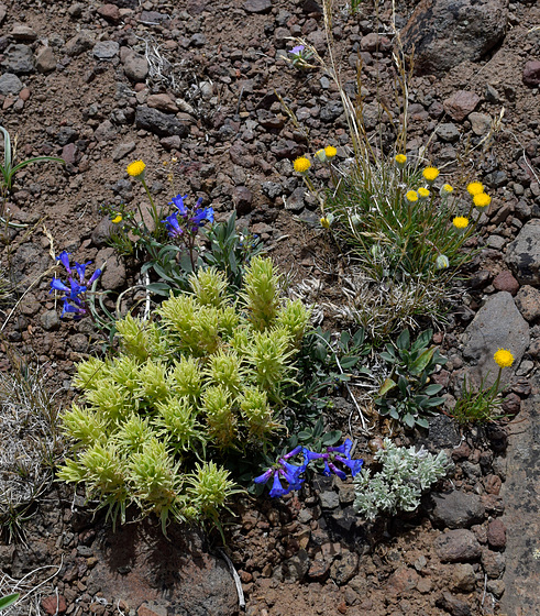
On one June trip, the wildflowers up high were prolific and diverse.
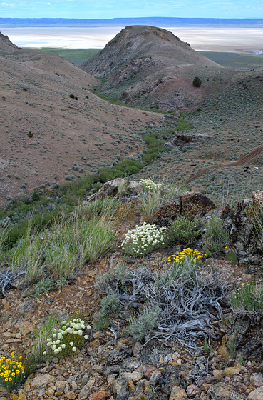
Alvord Desert is a huge permanently dry lake bed and there is a hot springs there.
This is looking down at Alvord Desert from the hills above:
This is looking down at Alvord Desert from the hills above:
For more lots more photos and information, on my web-site, please see these 3 web-albums of my trips down from Vancouver Island to southeastern Oregon:
wrenbin.ca/dave/Oregon-2019
wrenbin.ca/dave/Oregon-2022
wrenbin.ca/dave/Oregon-2023
wrenbin.ca/dave/Oregon-2019
wrenbin.ca/dave/Oregon-2022
wrenbin.ca/dave/Oregon-2023
This has been just a glimse of the adventures one could have in this little-known area. I hope you can, one day, see it for yourself.
There is surprisingly lots to see and do on The Sagebrush Sea!
Thanks for looking!
- Dave
There is surprisingly lots to see and do on The Sagebrush Sea!
Thanks for looking!
- Dave

0 comments